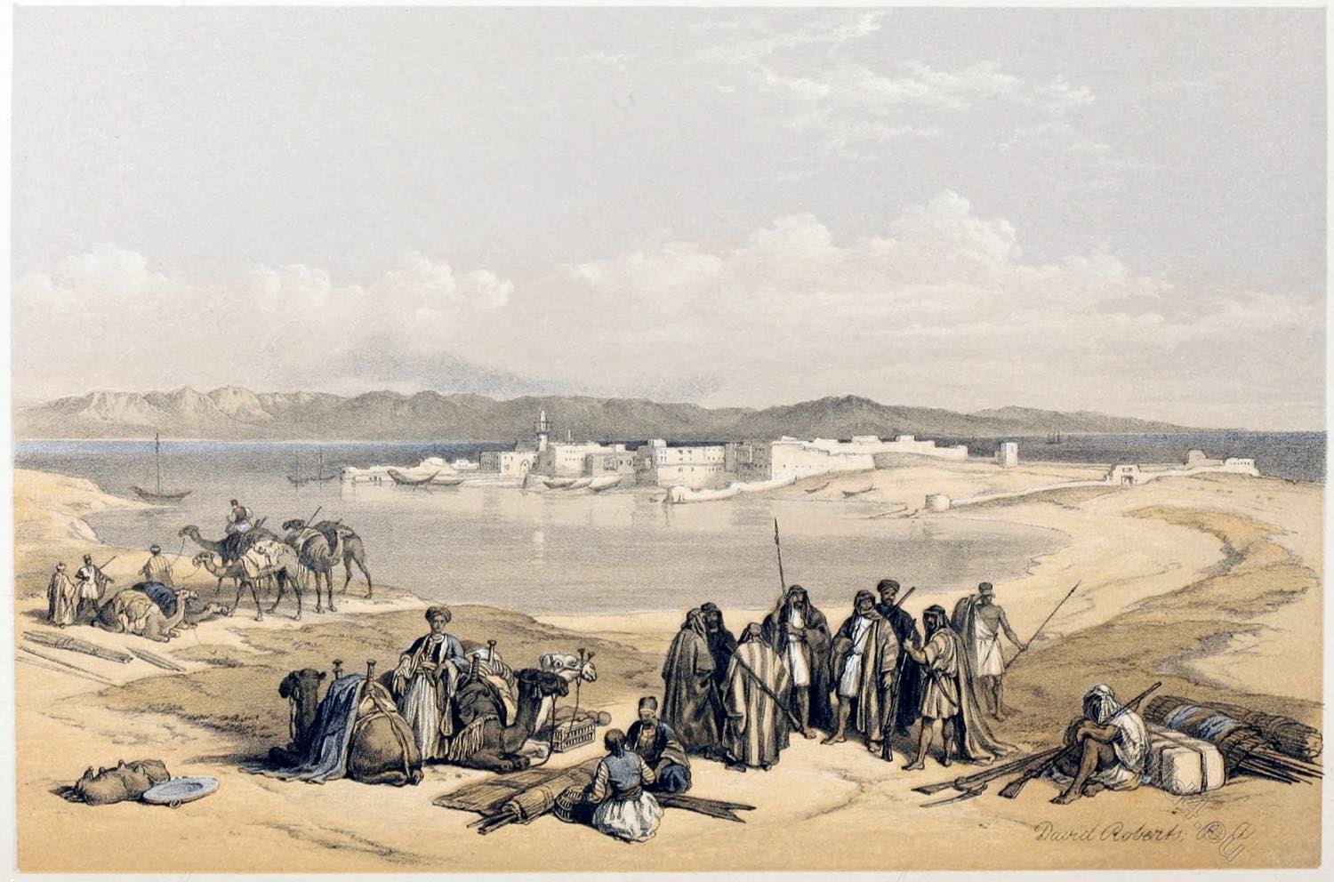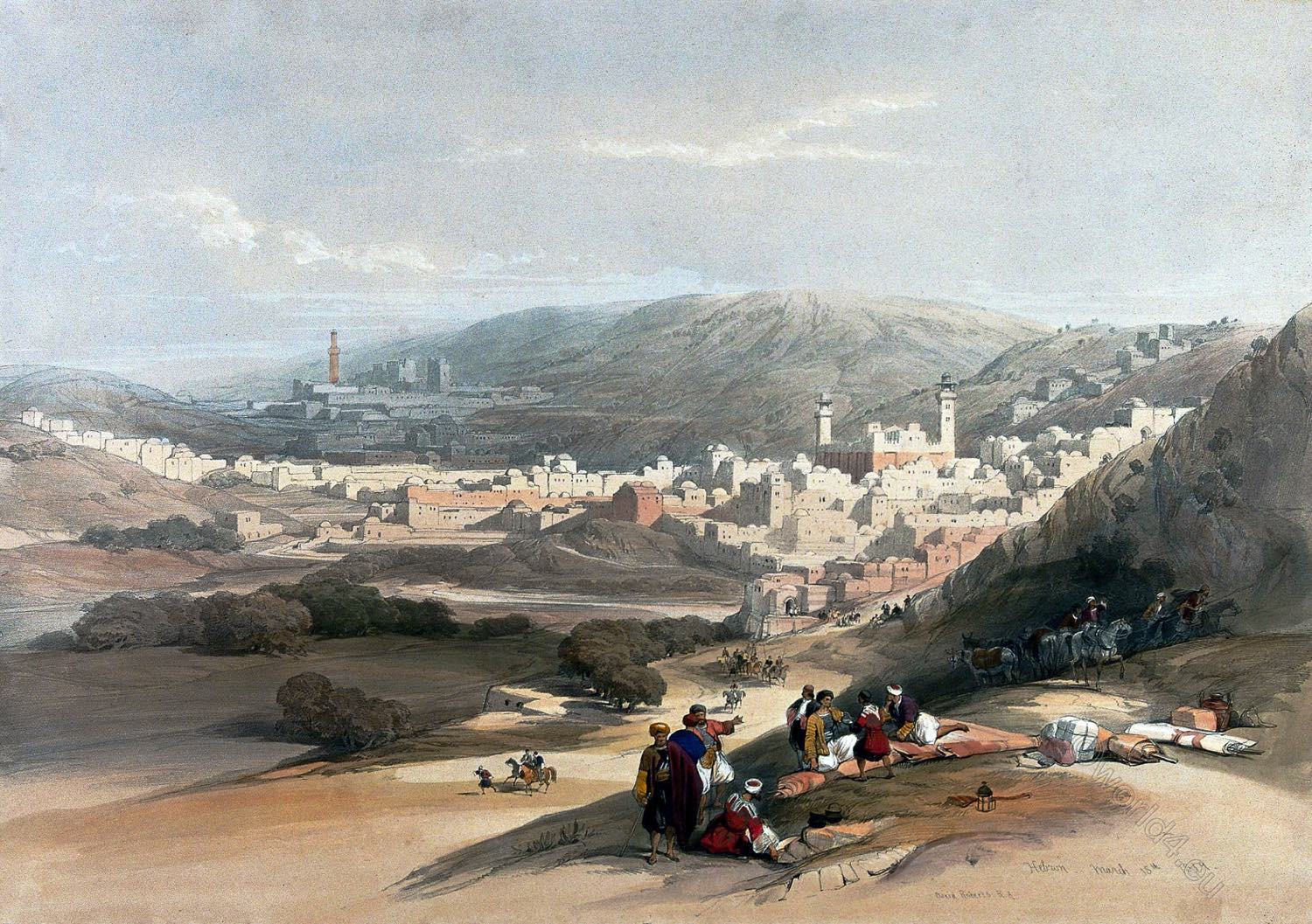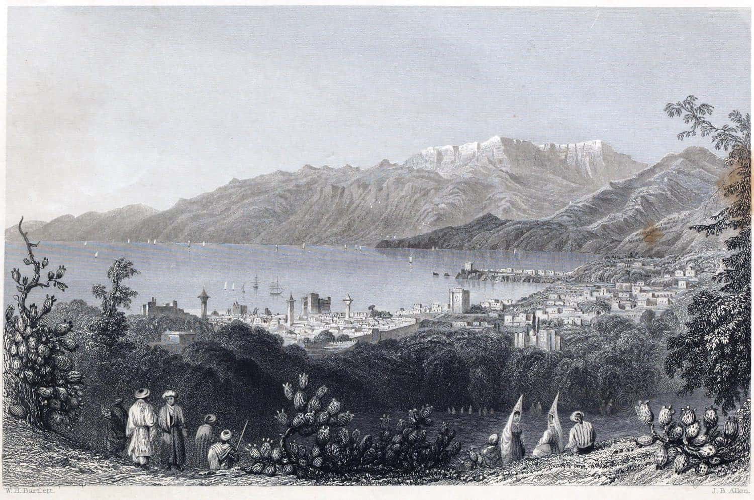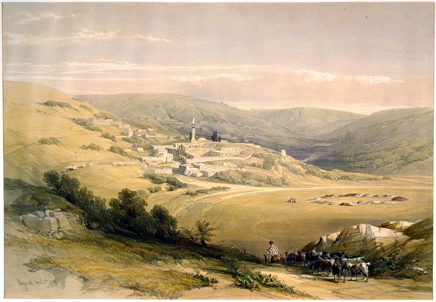
GENERAL VIEW OF SUEZ
by David Roberts
Suez (in Arabic, Suweis) stands on a corner of land projecting into the head of the Arabian Gulf, distant from Cairo about sixty-four geographical, or seventy-five English statute miles. The site of Kolsum (Tell Kolsum, Arabic: al-Ḳulzum) is still traceable, a third of a mile from Suez, The names of Arsinoe or Arsinoites, Cleopatris, and Clysma, are given to imaginary sites in the neighborhood; all of which were probably only elder forms of Kolsum (today’s Clysma).
“Even among the miserable cities of Turkey and Egypt, few present so wretched an appearance as Suez. Standing on the borders of the Desert and on the shore of the Sea, with bad and unwholesome water, and not a blade of grass growing around it, and depending upon Cairo for the food which supports its inhabitants, it sustains a poor existence by the trade of the great caravan for Mecca, and the small commerce between the ports of Cosseir (El Qosair), Djiddeh, and Mocha (Al-Makha, is a port city on the Red Sea coast of Yemen).
A new project has lately been attempted here, which, it might be supposed, would have a tendency to regenerate the fallen city. The route to India by the Red Sea is in the full tide of successful experiment; the English flag is often seen waving in the harbor; and about once in two months an English Steamer arrives from Bombay: but even the clatter of a steam-boat is unable to infuse life into its sluggish population.” 1)
It is only eight years since this description was written, on the spot; and now there are not only arrivals and departures of the English steam-packets, twice in the month, for England and Bombay, but steam communications even to China.
The rapid and valuable intercourse now established between Europe and our Asiatic possessions across the African Isthmus, has, in spite of every disadvantage of climate and infertility, already raised Suez to an importance which no town on the Gulf ever possessed before.
The place of the Passage of the Israelites has excited much learned inquiry. It has been generally supposed to commence from the mouth of the Wady Tawarik, south of Ras Atakah. But this hypothesis seems untenable, from the breadth of the Sea, which there is twelve geographical miles.
The more probable conception is, that the passage was made across the small arm of the Sea, which runs up by Suez, a breadth of less than four miles. From the Sacred Narrative, a North (or N.E.) wind blew “all night” (uncovering the shoals above the site of Suez). And in the “morning watch” (at two in the morning) the Sea returned. Thus not more than two or three hours seem to have been allotted for the passage of three millions of people.
Thus not more than two or three hours seem to have been allotted for the passage of three millions of people. Within this time they might have hastened over the narrow arm, while to march the greater distance would have been impossible. The miracle consisted, not in the march of the people, but in the Divine direction of the wind; and the return of the waters at the command of Moses. 2)
1) Stephens’s Incidents of Travel. 2) Biblical Researches, i. 83.
Source: The Holy Land, Syria, Idumea, Arabia, Egypt, & Nubia, by David Roberts (British, 1796-1864), George Croly, William Brockedon. London: Lithographed, printed and published by Day & Son, lithographers to the Queen. Cate Street, Lincoln’s Inn Fields, 1855.
Continuing
Discover more from World4 Costume Culture History
Subscribe to get the latest posts sent to your email.


