A Road near point de Galle.
PLATE III.
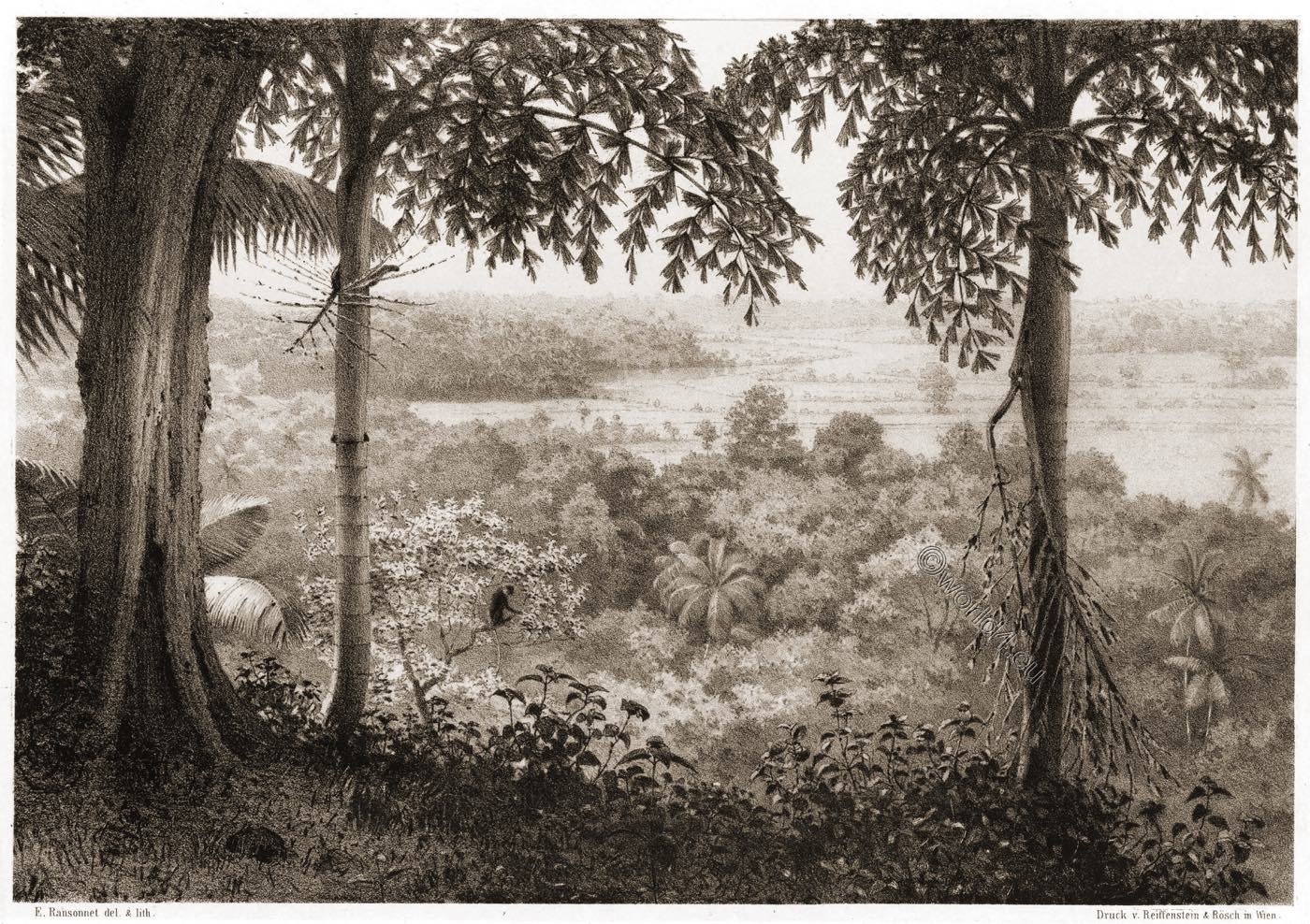
Nothing can be more charming than a morning walk in the immediate neighborhood of Galle. The roads, which are kept in excellent repair, are generally of a reddish hue, and lead across paddy fields of the brightest green, and under dark masses of trees mixed with coco nut and areca palms, plantains and bamboo, which gracefully bend their shady branches over the path.
Numerous small birds and butterflies add brightness to the foliage and large lizards (Monitor), from three to four feet in length, enjoy their dolce far niente (Italian for sweet idleness) in the morning-sun.
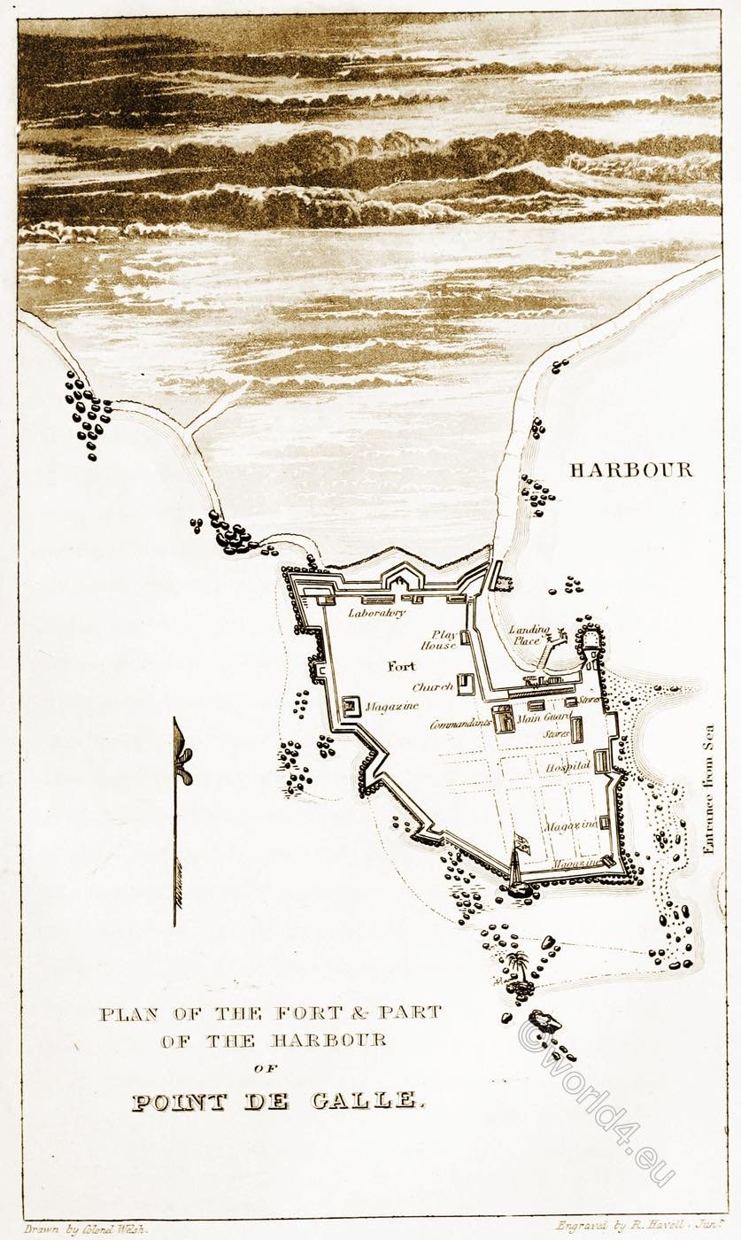
Galle, also known as Gimhatitta, is a town on Sri Lanka on the west coast of the island, southeast of Colombo, with a safe harbour and a fort. This fort is called Point de Galle. Galle has a tropical rain climate with high temperatures and a lot of rainfall.


In 1640 the Dutch conquered the area from the Portuguese. In 1663 they founded the fortress “Point de Galle” there, which is still the largest preserved European fortress in South Asia.

The British took over the country from the Dutch in 1796 and used the fortress as the local administrative centre. In Colombo they founded a larger seaport, which made the port of Galle much less important. It used to be a hub for the steamship lines from Calcutta to Australia and from Suez to Singapore, but now Colombo has taken its place.


Source: Sketches of the inhabitants, animal life and vegetation in the lowlands and high mountains of Ceylon. As well as of the submarine scenery near the coast taken from a diving bell by the Baron Eugène de Ransonnet (Eugen Freiherr von Ransonnet-Villez, 1838 in Hietzing bei Wien; † 28. Juni 1926 in Nußdorf am Attersee). Printed for the author by Gerold & sold by Robert Hardwicke, London 1867.
Maps: Military reminiscences: extracted from a journal of nearly forty years’ active service in the East Indies by James Welsh. London: Smith, Elder, and Co. 1830.


